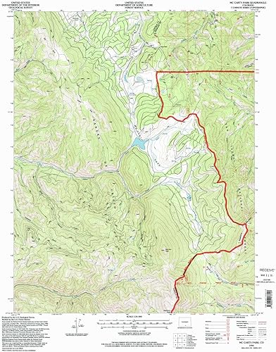
YellowMaps Mc Carty Park CO topo map, 124000 Scale, 7.5 X 7.5 Minute, Historical, 1994, Updated 1998, 26.7 x 21.9 in
Categoría: Mapas Topográficos
Envío gratis
Precio y disponibilidad de YellowMaps Mc Carty Park CO topo map, 124000 Scale, 7.5 X 7.5 Minute, Historical, 1994, Updated 1998, 26.7 x 21.9 in
$ 348.310,45
$ 409.777
Stock disponible
Entrega estimada de 8 a 14 dias habiles en Colombia.